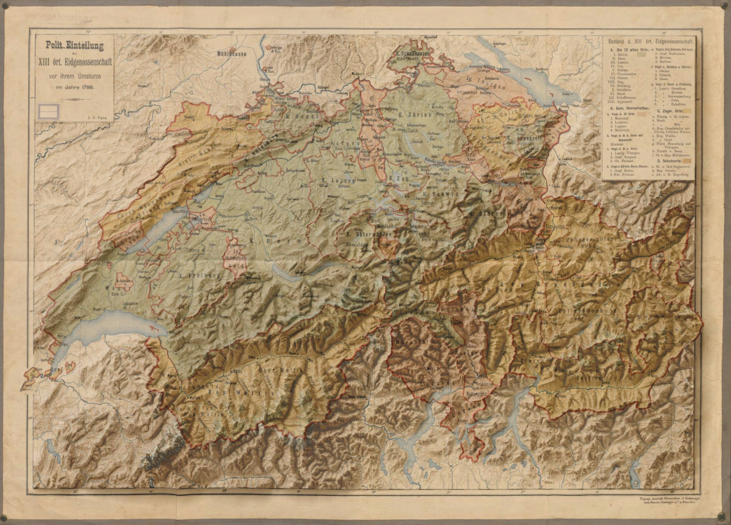
Digitally rendered 3D elevation + 1798 political map of Switzerland
author,
I came across the maps of Scott Reinhard (opens in a new tab) on Twitter and I fell down the rabbit hole of the art of combining old maps with modern 3D elevation data. This is what I was able to create playing around with QGis, Blender 3D and Photoshop:
Inspired by the work of Scott Reinhard (opens in a new tab).
Thanks to Daniel P. Huffman (opens in a new tab) for the tutorial that got me started, and to Andrew Tyrrell (opens in a new tab) for his hint towards georeferencing.
Original map (opens in a new tab)
Elevation data from Copernicus Land Monitoring Service (opens in a new tab).
Made with QGis, Blender3D and Photoshop.
